Monday, 28 July 2014

Viking Cruise 2014 - Day 1

4th June 2014 
Roskilde Marina to Kulhuse Marina.
Day 1

Wind WSE Force 3. Cloudy , dry with good visibility.
Departed 11:30 Arrival 19:30 hours
Distance 21.6 nm

The fleet was all launched and berthed in the Marina. The fleet consisted of 2 Gigs, 2 Drifter 22's, a Drifter and four Coasters. We were a multinational bunch from Holland, Ireland, Scotland and England. There were a crew list of fourteen.

In true Drascombe fashion we departed from Roskilde at about 11:30 hours having held a crew briefing. Roskilde is a shallow fjord with a clearly marked channel between the upper and lower parts. The harbourmaster warned against taking any other route. The bridge at Frederikstad would provide an obstacle with limited opening every hour and a longer closed session between 15:00 and 18:00 to allow for increased traffic in the late afternoon and evening.


The fjord was approximately 5 metres deep and gave the impression of sailing on a large inland freshwater lake. The wind direction was good and set full sail and maintained and average speed of 4 knots. 

Roskilde fjord 

We arrived at Crown Prince Frederick's Bridge at 14:45 hours having just missed an opening at 14:30 hours. The next opening was scheduled at 17:30 hours. The bridgekeeper would not make any exceptions and so we anchored in the lee of an old railway embankment for a late lunch and a snooze.
At 17:15 hours we made ready to sail through en masse under sail and the bridge opened at the appointed hour. I sailed through with main and mizzen but keeping control with the engine running. As we passed through the bridgekeepers seemed to be concerned. The bridge horn sounded three times and the bridge began to close. This left two of our number on the wrong side of the bridge as they had to take avoiding action to stop colliding with the bridge spans. There was a feeling that the bridge keeper was being officious and could have easily been more patient and allowed the whole fleet through.
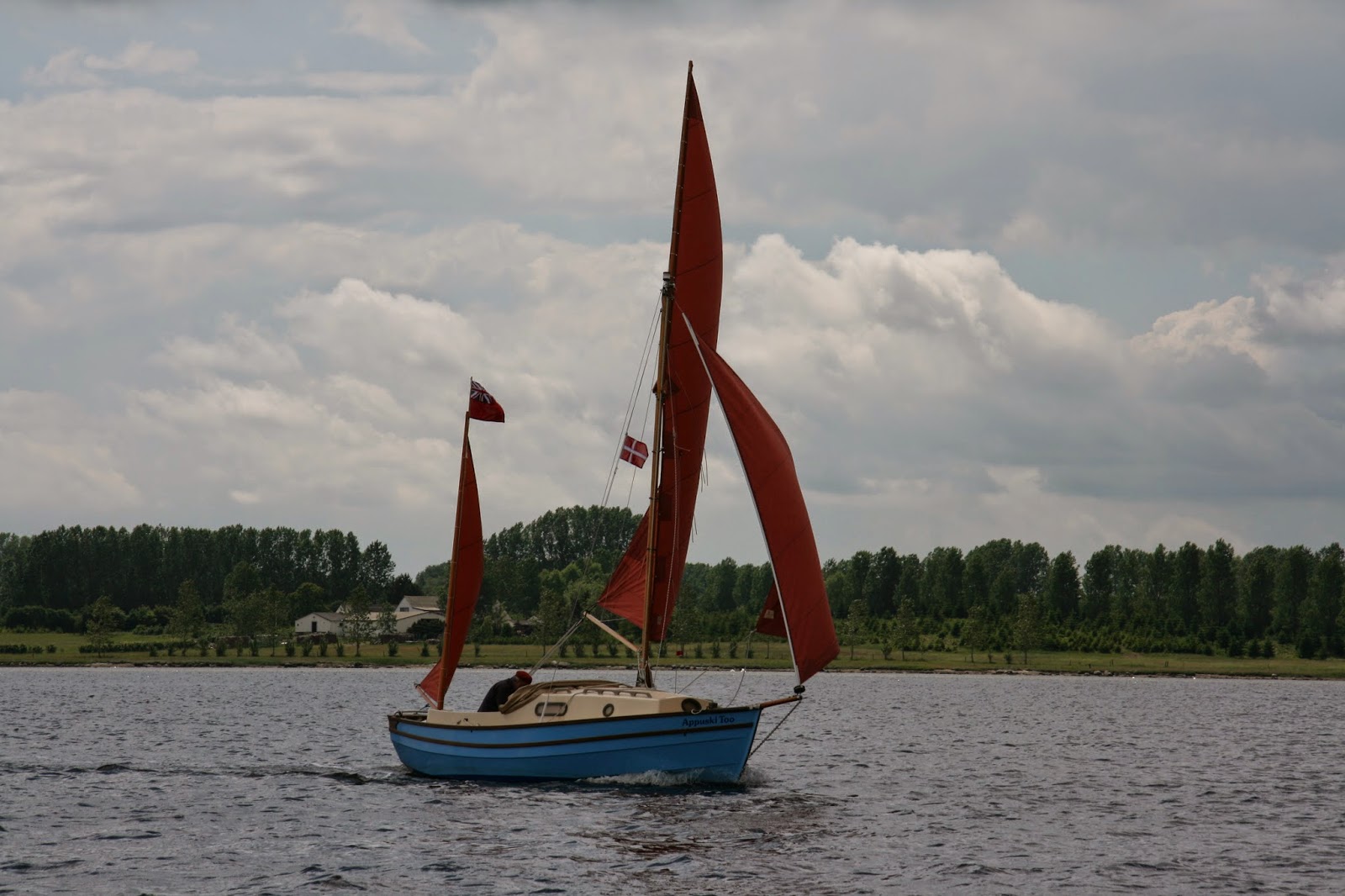

A good breeze pushed further north up the fjord and the fleet split with a number waiting at the bridge for the stranded pair to get through at the next opening at 18:30 hours.

We had hoped for an anchorage to spend the night but there was little shelter from the SE and so we pressed on the Kulhuse Havn which was a small marina on the northern most tip of the peninsula which divides this inland sea.


The usual scandinavian  method of marina mooring is bows to jetty and the stern pulled away by attaching lines to wooden piles or buoys. The advantage is that it allows more boats to be moored in the harbour. The lack of tide allows the use of this method with no need for expensive floating pontoons. So as a result marinas are more interested in your boats beam than length.

http://kulhuse-havn.dk/

Kulhuse was a pleasant harbour with no resident harbourmaster and an honesty box for collecting fees.


Thursday, 24 July 2014

Viking Cruise 2014 Introduction and Preparation


Viking Cruise 2014

In early January 2014 I was perusing the Drascombe Forum when I came across a posting from Jack O'Keefe the rally secretary of the Drascombe Association suggesting a cruise from Roskilde in Denmark to Oslo, Norway. The connection between these two places was a shared Viking history and the location of two Viking ship museums. The Drascombe range of boats has a loose connection with Scandinavian boat design as it has many similarities with the Northumbrian Coble. The Coble is believed to be heavily influenced  by the Scandinavian lapstrake construction and a raised bow. John Watkinson who designed the original Lugger denied any influence from this source.

I decided there and then that this was an opportunity not to be missed and we started planning for the trip. It was decided that my wife would come with me and be shore sided support and bring the boat trailer from Roskilde, our launching point to our destination at Oslo. We decided to take the Dover to Calais route as it was the cheapest and we were familiar with the route through Holland and Germany. We had taken this route in the previous two summers to take our son to University in Denmark.

Now started nearly 5 months of preparation.

1. Accomodation 

Out usual holiday accommodation is a Pennine folding camper but on this occasion it would be replaced by a tent and so keeping the need for one vehicle on the trip. 

2. Boat preparation

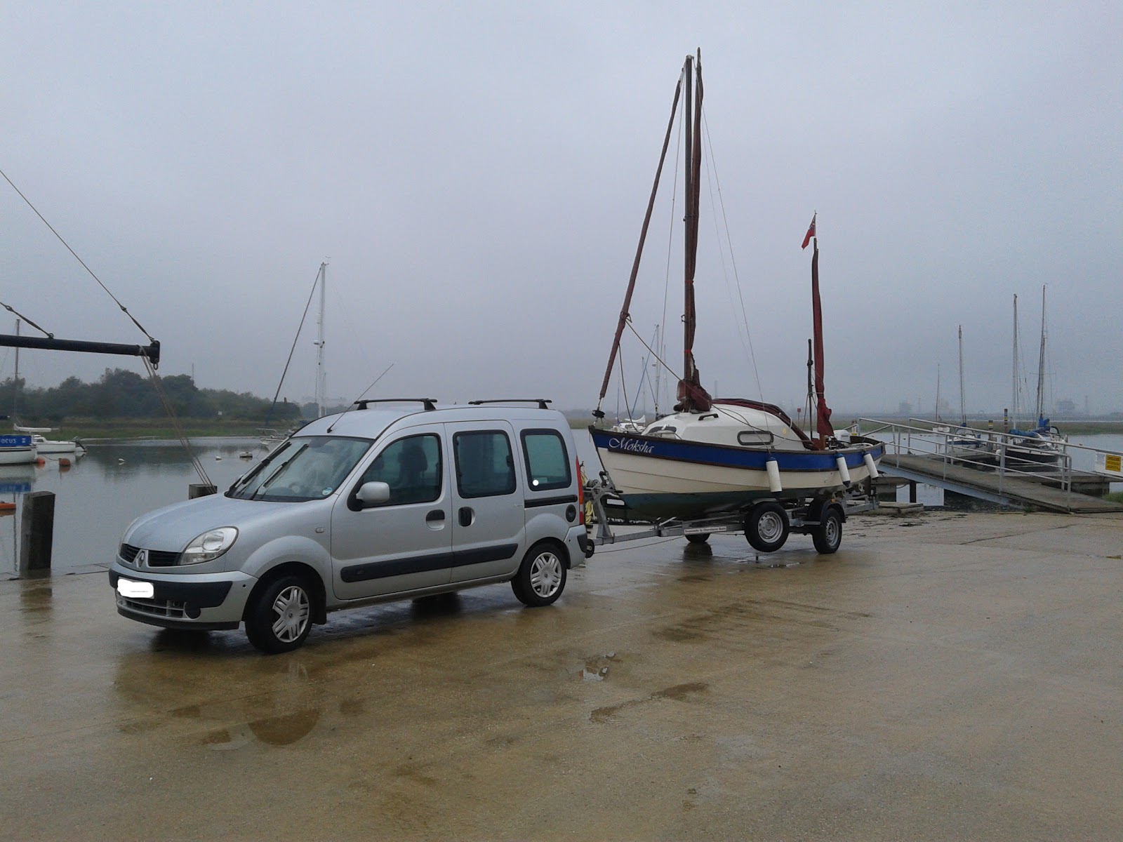
Moksha had not been taken on such a long journey before and needed a few modifications. The need to have sanitation available as there were clean water regulations in place. Holding tanks were required and there could be no discharge within 500m of the shore and in Sweden no discharge less than 2nm from the shore. The boat already had a porta Potti on board but was not readily available for use. I swapped the Potti from the starboard to the port side of the centre plate case so making it easier to use.
I installed lifeline points in the cockpit as it was anticipated that I would be sailing solo for the whole trip and I was exploring the possibility of installing an Autohelm. The purchase price was quite considerable but I decided it was worthwhile as it would release me from the tiller. Other advantages would be that it would allow me to navigate and look at the charts, carry out sail adjustments and other boat preparations for mooring and leaving harbour. To allow me to prepare food and drink on voyage. Take photographs and generally relax from the tiller. The disadvantage would be saftey if I should fall overboard the boat would carry on regardless without me. Secondly an increased drain on the battery. Hence the fitting of lifeline points and a larger battery.
I found and purchased an 80Ah AGM battery for a reasonable price from a local supplier. An AGM battery has an advantage is that it is sealed and will not leak acid or give off hydrogen gas whilst charging..
   
3. Navigation.

This proved to be one of the most expensive parts of the trip. I opted for the electronic method, purchasing the Garmin Chart for the Skagerrak at a cost of £125. I also bought a Navionics package for my Nexus 7 at a cost of £49. In order to provide some resilience in case of electrical failure I printed A3 screenshots of the Garmin chart using my Garmin Homeport software. This proved usable on the trip but I did supplement with a Swedish small boat leisure chart of the western archipelago at a cost of £55. I bought this Batsportkort in Gothenburg and saved the cost of £25 postage if I had bought the chart by mail order from a Swedish chart seller whilst in the UK.
The screen shot print offs were not sufficiently detailed for navigation or they were too cluttered at large scale. The Garmin 451 chartplotter despite it's small size was useful. The ability to zoom in and out of the chart. Also not having to contend with paper charts in the cockpit whilst single handed. The Swedish small boat chart was useful in the complex archipelago of western Sweden.
I also used a Garmin GPS 72 to steer by and monitor speed whilst on the starboard tack. The 451 plotter is mounted on the port side of the cabin entrance.
The 451 also had a useful facility to record a track of the journey in it's memory which has been useful in writing reports and logs. Although one has to remember to download onto the chip as the unit has a limited internal memory.


4. Provisions

Before I left the UK I was very much aware of the cost of living in in Sweden and Norway. I stocked up with a lot of tinned food and other non perishable food. I only had to buy locally bread, butter, fruit and vegetables. We only ate out twice in the whole trip. Buying alcohol was expensive with a small bottle of beer costing about £4.50 in Sweden.
Petrol was reputed to be difficult with not all Marinas stocking it and resorting to local petrol stations which in Goteborg was some distance away and involved a tram ride. Campingaz was reputedly unobtainable in Sweden but was found in the marina in Goteborg.

.


Wednesday, 19 February 2014

Viking Cruise 2014


This year I have the opportunity to take part in the longest cruise that I have undertaken in Moksha. The suggestion has come from Jim Hopwood, ex chairman of the Drascombe Association and owner of "Hippo" a converted Drascombe Gig.(see photo below)

The plan is to sail the 300 miles from Roskilde in Denmark, along the western coast of Sweden to Oslo in Norway. This journey will be undertaken in 20 mile stages taking approximately 3-4 weeks.


Hippo. Klik voor vergroting
Hippo
At the moment we have a fleet of 5 boats including 2 gig's, Drifter and 2 Coasters. There are a number of other interested persons and the fleet may increase further. The planning has now begun.

Wednesday, 10 July 2013

Working boats in Denmark "Sjaegt"

On a recent holiday to Denmark we camped at Hjarbaek on the fjord. This is an inland sea in the middle of Jutland. This fjord is part of a much larger part and is open at both ends to the tidal sea. Hjarbaek fjord has now been dammed and is almost entirely freshwater. These working boats were originally built   as working fishing boats and are rigged with a square mainsail and foresail. In lighter airs they also use a triangular topsail. They are especially adapted for the shallow waters of th fyord and have no centreplate and rely on hull for for stability. This type of boat is unique to this rea and this clu bactively sail them and during the summer race every tuesday evening.(no tides to worry about)

The members were very welcoming and told me all about their boats. It looked the ideal location for a Drascombe Rally although space was limited in the harbour.


Topsails stored on the pontoons


Tuesday, 15 January 2013

Book review "Solent Hazards"

An excellent book which is now in fifth edition. It gives and excellent description of shoreline navigational hazrds for both East and West Solent. The description starts from Cowes in a clockwise description. It is a book to be kept at hand in the boat as some of the descriptions are very detailed and you need a large scale chart to hand when reading the text. I would thoroughly recommend this book.


Sunday, 28 October 2012

October sail.

Thursday 4th and 5th October 2012

The sailing season has come to an end. The season has a whole has been a poor one for me with a combination of poor weather and other commitments. This final  trip was a cruise in company with the South Coast Sailing Group. This group is an informal group of small boat enthusiasts who in the main sail Drascombes.

The plan was to sail as an informal group with boats coming from Chichester, Warsash and Keyhaven. The intial destination was in actual fact Keyhaven to take advantage of a Curry night at the Keyahven Yacht Club.

To start at the beginning I planned to come down to my yacht club a day earlier in order to get the boat into the water and just generally be with the boat. I arrived at the Club to find that the thieves had visited the club also in the previous week. Talking to other club members I found that at least two outboard motors had been stolen. One from a boat on a mooring and the other from a boat in the pound. My boat had been tampered with but nothing stolen. I had taken the precaution of removing the plastic cover to the outboard which had rendered it less sale-able.

Launched the boat and moored it on the pontoon. The forecast for that night was not good with a F8-9 gale predicted to come through at about 0200 hours which just by chance coincided with HW. At 0200 hours I was awoken by the violent movement of the boat pulling against it's warps. A neighboring boats sail become loose and flapped making it rather difficult to sleep.I looked out and found it raining heavily and with a mist of spray over the creek. I did not get to sleep until about 0400 when the tide fell again.

The next morning a number of my sailing comrades arrived and after lunch in the Social Club we set sail for Keyhaven. The wind was blowing F4-5 from the West and progress was slow to our destination. I put a reef into the main and progress to windward with a wet going tide. I was slowly overtaken by the fleet of Drascombes. I put this down to my caution in keeping the reef in longer than the others and I was probably not as efficient in sailing to windward. I must really put those tell tales on the sails that were bought for me as a birthday present from my son. The weather was poor with heavy rain soaking me and water was streaming off the sails.

At about 1900 hours I reached a point off the Isle of Wight opposite Lymington. The wind strength had fallen. I had taken the reef out of the mainsail some hours before and all sight of my comrades had disappeared. The visibility was not good and the mainland was just disappearing in the gloom. I decided it was time to use the engine as it would not be long before dusk. I furled the sails and I motored at about 7 knots to Keyhaven.

I arrived about 10 minutes after two Longboat Cruisers and I moored on the outside of a raft of Drascombes. I put the cockpit tent up and I retreated to the Yacht Club for my Curry and to dry out. I have found that however efficient your waterproofs are that water seeeps down your neck.

Saturday 6th October

The wind direction had changed to a ENE F3 and so we would see what the sailing prospects were going to be. It had been a wet night with about a gallon of rain water in the cockpit. Water was just over the grating. The sunshine was out with a little cloud. We left at about 0900 hours in order to get the east going tide.

I was the first away and anxious to make better progress in the fleet.

Se sail out of the harbour and past all the moored craft in the long approach. Set the sopping wet mainsail and we set off at a steady 5 knots. I managed a long reach but could not manage a course straight to Cowes. The wind increasingly came from the East and I had to put in a couple of tacks  to reach the Prince Consort buoy. The first turn was at Thorness Bay. Even a turn at the entrance of the Beaulieu river was not enough and had to put in another  tack to reach the Prince Consort. I then furled the sails and motored up the Medina River to Newport town quay.

Sunday 7th October

Sunday morning  was spent in Newport listening to the church bells and reading the Sunday paper. The flotilla was disbanding to various ports as the weekend had effectively come to an end. I decided with a couple of others to extend the weekend a little bit and go on a diversion to Newtown creek. The wind was in the North blowing at a F3. the tide was in our favour and we could get an early west going tide by keeping close to the coast at Egypt point. The sun was shining and I motored slowly the Medina River. Past the Vetus wind turbine factory and the Folly Inn pub.

I set the sails behind the breakwater on the eastern side of the entrance of the Medina River and turned to port to the West. The sail to Newtown was uneventful. Even tried fishing with my new paravane but only caught some seaweed. Anchored at the entrance to Western Haven with another Drascomber. The other two had decided to head east back to their home port of Chichester.

Monday 8th October

I awoke to find my fellow Drascomber was awake and breakfasted and was ready to set sail. He was anxious to get back to Warsash which is accessible at all states of tides. I had to wait for HW at Ashlet which was approximately at 11:30 hours. The weather was heavily overcast with restrictd visibility down to a mile as I could see the hill on the far side of the creek. The weather forecast gave vis of about half a mile. I decided to sail and rely on the chart plotter and my knowledge of the Solent. The wind was from the NW F3. I set sail at about 11:30 and made good progress in a single beat to Lepe. The wind increased at approx a F5 and so I put in a reef in the main. I then made slow progress to wind ward up the coast towards Calshot. The wind had appeared to increase to the North and so progress was made between the shore and the traffic separation zone. I was anxious not to enter the zone and meet any large shipping. I managed to keep sight of the shore but the visibility had come down to about half a mile. The chart plotter was valuable as it allowed me to keep an exact position of where I was. I know one should not rely on electronic aids but sailing single handed it is not really possible to do proper navigation. I used the depth sounder as well to gauge how close to the shore I could go. The sea state was smooth and the wind strenth had now decreased and I shook the reef out of the sail. I slowly made progress probably in about a dozen tacks and I recognized the features  on the shore as the old barracks and hangers of the seaplane base. I grounded slightly on the spit and quickly raised the plate and sailed out to seaward. I rounded the spit and the visibility lifted and I could sail directly up Southampton Water and past the Coastguard tower. I could now see all the way to the top of Southampton Water. I arrived back at my home port and hauled out. That trip was one of the most challenging and the first time I had encountered poor visibility. There was no safety net of sailing in company with other boats and so it gave me some degree of satisfaction.


Wednesday, 22 August 2012

Day sail


Two hours sailing on Southampton water after a 2 hour drive from home. Beautiful day with fair winds. Makes up for the poor weather earlier in the year.