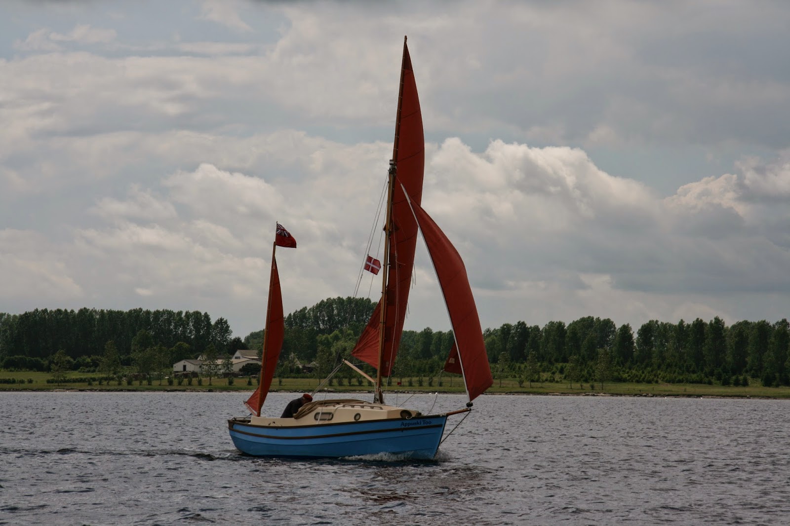
Viking Cruise 2014
In early January 2014 I was perusing the Drascombe Forum when I came across a posting from Jack O'Keefe the rally secretary of the Drascombe Association suggesting a cruise from Roskilde in Denmark to Oslo, Norway. The connection between these two places was a shared Viking history and the location of two Viking ship museums. The Drascombe range of boats has a loose connection with Scandinavian boat design as it has many similarities with the Northumbrian Coble. The Coble is believed to be heavily influenced by the Scandinavian lapstrake construction and a raised bow. John Watkinson who designed the original Lugger denied any influence from this source.
I decided there and then that this was an opportunity not to be missed and we started planning for the trip. It was decided that my wife would come with me and be shore sided support and bring the boat trailer from Roskilde, our launching point to our destination at Oslo. We decided to take the Dover to Calais route as it was the cheapest and we were familiar with the route through Holland and Germany. We had taken this route in the previous two summers to take our son to University in Denmark.
Now started nearly 5 months of preparation.
1. Accomodation
Out usual holiday accommodation is a Pennine folding camper but on this occasion it would be replaced by a tent and so keeping the need for one vehicle on the trip.
2. Boat preparation
Moksha had not been taken on such a long journey before and needed a few modifications. The need to have sanitation available as there were clean water regulations in place. Holding tanks were required and there could be no discharge within 500m of the shore and in Sweden no discharge less than 2nm from the shore. The boat already had a porta Potti on board but was not readily available for use. I swapped the Potti from the starboard to the port side of the centre plate case so making it easier to use.
I installed lifeline points in the cockpit as it was anticipated that I would be sailing solo for the whole trip and I was exploring the possibility of installing an Autohelm. The purchase price was quite considerable but I decided it was worthwhile as it would release me from the tiller. Other advantages would be that it would allow me to navigate and look at the charts, carry out sail adjustments and other boat preparations for mooring and leaving harbour. To allow me to prepare food and drink on voyage. Take photographs and generally relax from the tiller. The disadvantage would be saftey if I should fall overboard the boat would carry on regardless without me. Secondly an increased drain on the battery. Hence the fitting of lifeline points and a larger battery.
I found and purchased an 80Ah AGM battery for a reasonable price from a local supplier. An AGM battery has an advantage is that it is sealed and will not leak acid or give off hydrogen gas whilst charging..
3. Navigation.
This proved to be one of the most expensive parts of the trip. I opted for the electronic method, purchasing the Garmin Chart for the Skagerrak at a cost of £125. I also bought a Navionics package for my Nexus 7 at a cost of £49. In order to provide some resilience in case of electrical failure I printed A3 screenshots of the Garmin chart using my Garmin Homeport software. This proved usable on the trip but I did supplement with a Swedish small boat leisure chart of the western archipelago at a cost of £55. I bought this Batsportkort in Gothenburg and saved the cost of £25 postage if I had bought the chart by mail order from a Swedish chart seller whilst in the UK.
The screen shot print offs were not sufficiently detailed for navigation or they were too cluttered at large scale. The Garmin 451 chartplotter despite it's small size was useful. The ability to zoom in and out of the chart. Also not having to contend with paper charts in the cockpit whilst single handed. The Swedish small boat chart was useful in the complex archipelago of western Sweden.
I also used a Garmin GPS 72 to steer by and monitor speed whilst on the starboard tack. The 451 plotter is mounted on the port side of the cabin entrance.
The 451 also had a useful facility to record a track of the journey in it's memory which has been useful in writing reports and logs. Although one has to remember to download onto the chip as the unit has a limited internal memory.
4. Provisions
Before I left the UK I was very much aware of the cost of living in in Sweden and Norway. I stocked up with a lot of tinned food and other non perishable food. I only had to buy locally bread, butter, fruit and vegetables. We only ate out twice in the whole trip. Buying alcohol was expensive with a small bottle of beer costing about £4.50 in Sweden.
Petrol was reputed to be difficult with not all Marinas stocking it and resorting to local petrol stations which in Goteborg was some distance away and involved a tram ride. Campingaz was reputedly unobtainable in Sweden but was found in the marina in Goteborg.
.


